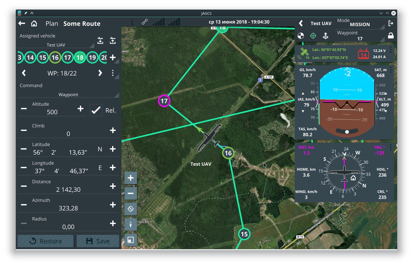
Joint architecture ground control station. Or just another ground control station:)
Can be used as ground software for the MAVLink compatible drones, but other information protocols can be integrated. Build with Qt and works on Windows/Linux/Android(Mac support will be later).
Clone using git with command
git clone --recursive https://github.com/MishkaRogachev/JAGCS.git
- C++14 compiler
- Qt 5.9 or higher
- CMake 3.0 or higher
GCC version 4.9 or higher required for MapBox GL QtLocation plugin ANGLE API is required for MapBox GL under windows
mkdir build
cd build
cmake ..
make
Warning: This project is currently closed, currently working on web-based GCS. Please contact for details
